One of my favorite subject areas to teach is geography and mapping skills. This is a fun, hands-on way to teach mapping skills to Kindergarteners.
**
Materials:
- Blue, green, red, orange, yellow, purple, brown and peach-toned finger paint
- Poster board (4)
- Overhead Projector
- World Map
- Black Marker
- Sticky notes
- Different colored stars
Prior Knowledge:
This lesson compliments many lessons, including those about the Arctic, or about countries of the world. The concept of a map should be taught across the curriculum, especially in the early childhood classroom.
Teach:
Teach the students about the continents of the world, what a globe is, and the difference between a globe and a map. As this is a Kindergarten age group, teach the continents of the world, North America, Latin America, Asia, Africa, Europe, Middle East, Oceania, and Antarctica, with the emphasis upon the continent where they live. Also teach the oceans - Pacific, Atlantic, Arctic, Antarctic and Indian. Teach or review the cardinal directions of North, South, East and West and their abbreviations with the students. Students should only be expected to know where they live, the Pacific and Atlantic Oceans, and the North and South Poles at this grade level, however, teach those who are comfortable with it, more information.
Procedure:
Prior to this activity, copy a world map four times onto each piece of poster board, using an overhead projector and tracing with a black marker. Label the parts of the world (continents) on the map. Teach the students about the bodies of water and label them. Show the students the difference between the bodies of water and land.
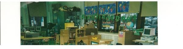
Place the students into groups of four. This is a great center time activity as students can work at their own pace and it is easier to manage with paint. It should take two or three center time periods to complete the work. The teacher can also review the parts of the world as the students are painting. Students share in the work of finger painting. Have the students recreate the world map using finger paint. When the project is complete, the students place sticky notes with the words north, south, east and west printed on them in their respective places on the map. Have students place a star on the country they live in, the Pacific and Atlantic Oceans, and the North and South Poles. Finger painting will also strengthen fine motor skills. A sample is hanging on the window in the picture above.
Assess:
Can students recollect where they are, the oceans and the poles?
This post is part of the series: Kindergarten Mapping Skills
Kindergarteners will learn geography and mapping skills in this series of lesson plans.