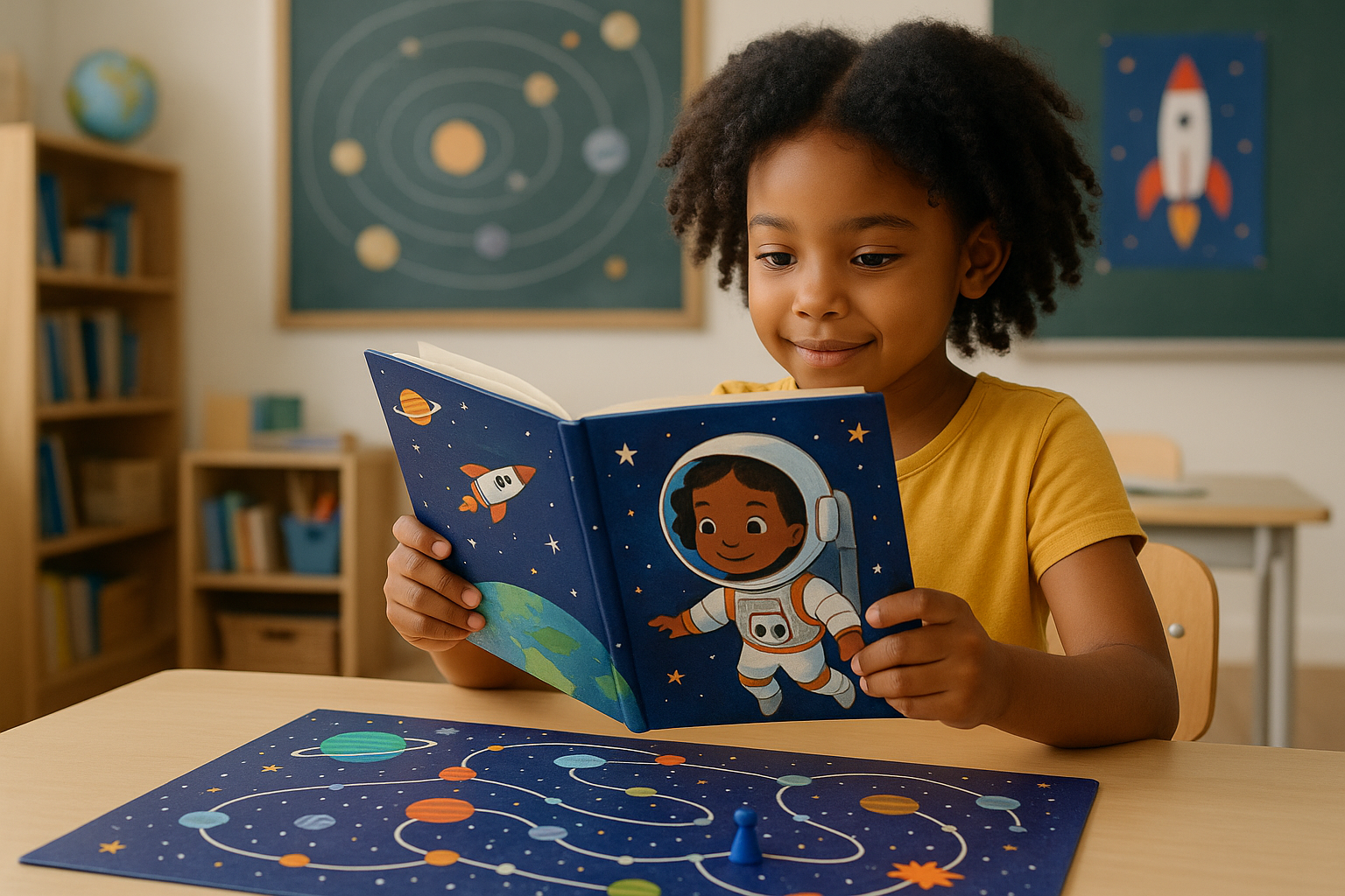
Do we live close to the mountains or the beach? Is there land for farming close by? This lesson will help your students learn about landforms on the Earth and discover what important landforms are in their neighborhoods.
Most of the students in your class have a very narrow vision of the world. They are only familiar with the small area around which they live. Depending on where your school is the students may be familiar with one of these landforms: mountains, hills, plains, lakes or rivers.
**
Objectives:
1. Students will be able to identify land and water on maps, illustrations, images and globes.
2. Students will recognize common landforms such as mountains, rivers, plains, beaches, volcanoes, continents, and caves.
3. Students will be able to talk about the landforms where they live.
Materials:
- Suggested book from the resource list below
- Globe
- Map of the United States
- Computer and projector to view the provided website (optional)
- Student copies of the downloadable U.S. map
- Crayons or colored pencils
- Play dough (optional activity)
Vocabulary:
Landform: a natural feature on the Earth’s surface, not made by man
Continents: the major (large) land masses on Earth
Hill: raised mound of land
Mountain: a large natural mound of land rising abruptly from the surrounding area
Cave: a large underground chamber or room found on some hillsides.
Island: land that is surrounded by water
Plain: a large area of flat land with very few trees
Beach: pebbly or sandy shore by the water
River: large flowing stream of water traveling across the land
Volcano: a mountain form that sometimes vents or releases hot lava and steam from inside the Earth
Lesson Procedure:
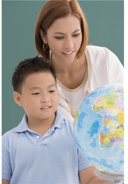
With the students gathered close by, show them the globe. Ask/say:
- What is this? This is a globe that represents or shows us about the Earth.
- Why is there blue on the globe? It shows us where water is.
- Notice all of the brown. This shows us the land. These large areas of brown are called continents.
- Then show the students where they live on the globe and then on the U.S. Map.
- Looking at the map, are there bodies of water close by? Coastlines or beaches?
Continue by saying or using the book you have chosen to explain that each part of our country looks different because there are different landforms. A landform is a natural feature on the earth’s surface. Some places on Earth are flat or have only low hills. Other places have mountains. Still others might be called a plain, which is a large, flat area with few trees. Some people live on a highland. It is land that has low mountains or hills. Some land has a river running through it. Another place to live is a coast right on the edge of a large body of water.
- Which of these things do you see where you live?
- What do you think people look for or need when they decide where to live?
- Which kind of landform would be good for growing crops?
- Why are there more people in cities than on the mountains.
Activities (Choose one or both):
1. Use the Scholastic website provided in the resource section below to show your students areas of the country that have specific landforms. The map is interactive so you can click one section at a time. Instruct the students to color their map like the one they see on the website using a specific color for each landform. (brown for the mountain regions, blue for the rivers).
2. Use commercial play dough or make your own. Put students in small groups to create a scene with four different landforms.
Resources
Books:
Rissman, Rebecca. What is a Landform? Heinemann-Raintree, 2009.
Kalman, Bobbie. Introducing Landforms. Crabtree Publishing, 2008.
Rau, Dana Meachen. U.S. Landforms. Scholastic, 2012.
Mitten, Ellen. Looking at Landforms. Rourke Publishing, 2009.
Websites:
Landform Map of the United States presented by Scholastic: https://www.eduplace.com/kids/socsci/books/applications/imaps/maps/g2_u2/index.html
Kids Geo: https://www.kidsgeo.com/geology-for-kids/0031-what-are-landforms.php