Strategies For Teaching Map Skills: Activities For Upper Elementary Lessons
Learning About Maps
Even with the growing popularity of global positioning systems, the ability to read and use a map is important for many reasons. With these games and ideas, your students will have so much fun, they won’t even think of asking, “Why do we need to know this?”
Latitude and Longitude
Instead of starting with map grids when teaching about latitude and longitude, give students a laminated sheet of large-square graph
paper and a water-based or dry erase marker. Ask them to label rows with alphabet letters and columns with numbers.
Next, students draw boxes on the grid as follows:
- Five 2 squares by 1 square boxes
- Three 3 square by 1 square boxes
- Two 4 squares by 1 square boxes
- One 5 squares by 1 squares boxes
Now, students play a game in pairs. First, they stand a file folder up between them to block the opponent’s view of the pages.
The first player calls out coordinates, beginning with the letter. If one of the other player’s boxes contains that square, he puts an X on the square. Players alternate calling coordinates until one has located all of the opponent’s boxes.
When students have mastered the idea of the coordinates and grids, connect the information to latitude and longitude. Show a map with the grid; point out that latitude corresponds to the letters on the game board and longitude to the numbers. Remind them that the latitude coordinate is always given first.
Map Legends
Let students become familiar with map symbols by letting them create a map of the classroom.
Next, provide students with several different maps of the same location, including topographical, political and special topics maps, having first removed the legends from the maps.
Ask students to explain what the specialty maps are identifying. After several guesses, provide the legend of the map and ask students the question again.
Use the discussion to reinforce the idea that maps are of no use if the reader cannot identify the symbols used there, which is why every map must have a legend.
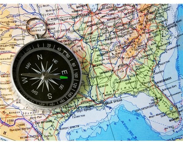
Extend the lesson by rotating maps to remind students that, while north will be located at the top of most maps, they should check the compass rose to be sure of the orientation of a specific example.
Traveling the World
Divide students into small groups and assign each group to a continent. Working together, students create a series of “Where Am I?” cards for a travel game. Each card should provide five different clues to the location, starting from lesser-known facts and moving to “give away” clues like “I am located in France.” They might also include latitude and longitude coordinates as a clue.
When the cards are complete, shuffle them and allow groups to challenge each other to identify the location with fewer clues than other teams.
Using these ideas students will have the opportunity to explore uses of maps for more than finding the best driving route from one place to another.